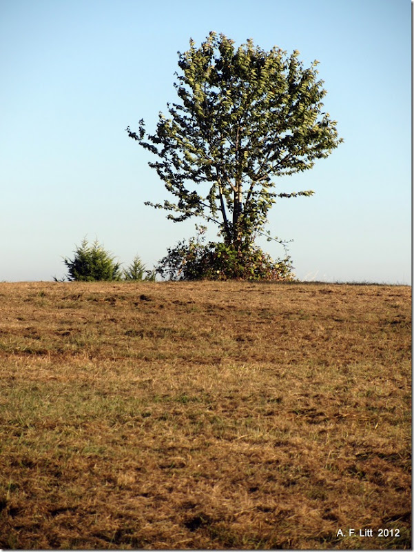
Found this spot while playing around with Google Earth and decided to drive up and check it out. This is a very nice spot, with decent views and nice meadows to wander through. There is at least one trail wandering through the parks woodsy “Natural Area,” but I didn’t have time to check it out today. I guess that forces me to plan a return trip. Shucks.
This post is, what Wikipedia would call, a stub. I’ll expand it later.
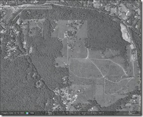
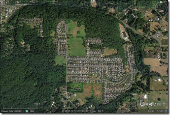
1994 & 2011 (Click to enlarge)
1939 – 1989 (Click to enlarge)
Links & References
Clatsop Butte - Wikipedia, the free encyclopedia:
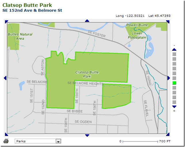
Clatsop Butte is an upland butte lying directly south of Powell Butte in southeast Portland, Oregon, United States. Clatsop Butte City Park, which occupies part of the butte, is at coordinates 45.47456°N 122.50676°WCoordinates: 45.47456°N 122.50676°W at an elevation of 571 feet (174 m).[1] Johnson Creek, Southeast Foster Road, and the Springwater Corridor Trail pass between Powell Butte and Clatsop Butte near Southeast 152nd Avenue.[2]
The City of Portland acquired about 16 acres (6.5 ha) of land on the butte for a park and natural area in 2000.[3] Other land acquisitions increased the park's size to 102 acres (0.41 km2) by 2007 but led to controversy about public expenditures. A 16-member oversight committee was to review the purchases in 2008 to decide whether the money had been wisely spent.[4] As of 2008, Metro the regional government in the Oregon part of the Portland metropolitan area, included 49 acres (20 ha) of the acreage on its list of protected natural areas.
The natural area, comprising densely forested hillsides and creek frontage, supports wildlife including deer, foxes, coyotes, Northern Flickers, Pileated Woodpeckers and other local and migratory birds.[5]
Clatsop Butte is one of several dozen volcanic vents or domes that make up the Boring Lava Field, dating to the Pleistocene. The rock is Springwater Formation basalt. The soil on the Butte consists of windblown silt deposits from the catastrophic Missoula Floods. (15)
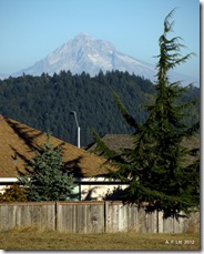
The high point at the southern end of the open area of Clatsop Butte has dramatic views in all directions. Looking east is an iconic, virtually unobstructed view of snowcapped Mt. Hood. To the south, Mt. Jefferson’s summit is visible on clear winter days. Larch Mountain and the western end of the Columbia Gorge can be seen in the northern foreground, with Silver Star Mountain, Mt. Adams and Mt. St. Helens appearing on the horizon. The towers of downtown Portland and Forest Park’s long ridgeline are seen to the west, with other high places such as Mt. Scott, Mt. Tabor and Willamette National Cemetery in the western foreground. Views from the park are outstanding and will be a significant draw for local as well as regional users. View destinations such as the Clatsop Butte Park are highly desirable and should create an incentive great enough to draw users from the Springwater Corridor and from Powell Butte. (22)
The park property was purchased by PP&R from a private developer in 2000. It encompasses several tax lots and several vacated street rights of way. Clatsop Butte Natural Area encompasses three tax lots, all owned by Metro but managed by PP&R. The open space tract to the north of the property is owned by Multnomah County.
There are three neighborhood Homeowners’ Associations surrounding the site, all of which control private tracts of open space: Emerald View to the east (including a long sliver of land that separates two parcels of the natural area), Lexington Hills to the south and McGregor Heights to the north and west. (25)Two large mounds have been created on this site, from topsoil bulldozed off the property in preparation for development. Standing atop one of the mounds offers a unique viewpoint over treetops and rooftops. These mounds could be removed and their topsoil could be redistributed on the site. One of these mounds could be reshaped or retained near the highest part of the site as a new artificial hill, shaped to offer an overlook of surrounding natural features. (35)
TLC Home "Lesser Known City Parks: Portland":
Not far from Powell Butte Natural Park— one of Portland's larger parks— Clatsop Butte Park is hidden away in the Pleasant Valley area of southeast Portland. Don't be fooled by the spare hillside when you pull up; walk down the hill to get a small trailhead and sign. It's removed from the road and nearby development, and a good…
Buttes get security: The neighbors' eyes | OregonLive.com (2008):
Clatsop Buttes Natural Area is made up of five adjoining parcels at the edge of the city limits -- including a 43-acre grassy meadow called Clatsop Butte Park with spectacular views of Mount Hood, Mount St. Helens, Mount Adams and downtown Portland --and an adjoining 49-acre sloping, forested area popular with hikers and equestrians.
Additional wooded parcels and open spaces have been cobbled together in recent months by city and Metro officials to form the 150-acre natural protected area crucial to the environmental health of the Johnson Creek Watershed.


No comments:
Post a Comment